Something very special about looking at old maps. It can be surprising just how much and how little has changed. One of my faves are Bartholomew maps especially the older cloth versions. You can often pick them up in chariry bookshops etc.
A good game is not just to enjoy perusing these beautiful bits of artwork at home, but also to navigate with them today . I did a BaM from Stoke to Manchester a while ago using just a 1947 version of OS 1" number 110. Fascinating, and brilliant fun.
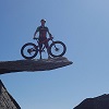
Work Of Art
Last edited by RIP on Tue Apr 07, 2020 9:10 am, edited 1 time in total.
"My God, Ponsonby, I'm two-thirds of the way to the grave and what have I done?" - RIP
The sign outside the asylum is the wrong way round.....
A good game is not just to enjoy perusing these beautiful bits of artwork at home, but also to navigate with them today . I did a BaM from Stoke to Manchester a while ago using just a 1947 version of OS 1" number 110. Fascinating, and brilliant fun.
I recall Mr Crane doing something similar in his series 'Map Man' when he followed an old route using a bike and map from the time. Series 2, episode 1 I believe.
With the correct historical bike too? Excellent. I hope he was wearing plus-fours as well .
See what I did with the Marmite there... in fact it happened to be in position when I took the pic, but just realised the significance in the context of maps and This Place .
Last edited by RIP on Tue Apr 07, 2020 9:17 am, edited 1 time in total.
"My God, Ponsonby, I'm two-thirds of the way to the grave and what have I done?" - RIP
The sign outside the asylum is the wrong way round.....
My mum always used to talk about an old cottage in the field in front of the farm house. Even in dry summers we never saw any indication of footings.
Then a couple of years ago I came across a site (not the one linked earlier) with old OS maps and on the 1851 version ...
The house is the large building beneath the 'H'. The building my mum was on about is the one at the corner of the wall down and right. But there's also two other buildings we knew nothing about - the one in the field to the east and the one a little west of "the cottage". The 1919 map doesn't have any of these and the general set of buildings from that map is how I remember it in the 1970s & 1980s
Better weight than wisdom, a traveller cannot carry
RIP wrote: ↑Tue Apr 07, 2020 9:37 am
Well there's a fascinating lockdown pastime for you Bob - get your pick and shovel out .
I no longer live there, my brother lives there and runs the farm and it's over in the Lakes so not really essential travel for me. I suspect the building to the east is a chicken shed - there were one or two others scattered around when I was a kid that eventually rotted and got pulled down. The other one might be a mapping error, there's a shed immediately north of where that's indicated.
Better weight than wisdom, a traveller cannot carry
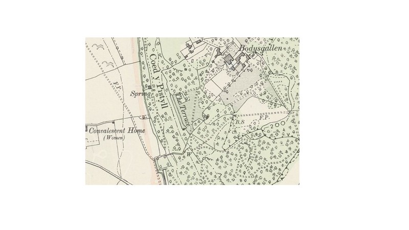
This woodland is just over a mile from my house. I'm gonna now go in search of 'The Terrace'. Looking at the map its probably only about 50-70 metres away from the footpath in overgrown woodland. It was once probably part of the Bodysgallen Hal but doubt that very much now. I'll report my findings later....
Well I went in search of 'The Terrace' from the map above ^^
What a lovely spot. I went with my 16 year old who is always up for an explore of werid places and was good to get him out of bed before 12 too! Yes its part of the Bodysgallen Hotel (which meant some wall and fence hopping) which is owned the National Trust so it is well looked after.
Some pics... 20200409_104356 by Jeff Price, on Flickr

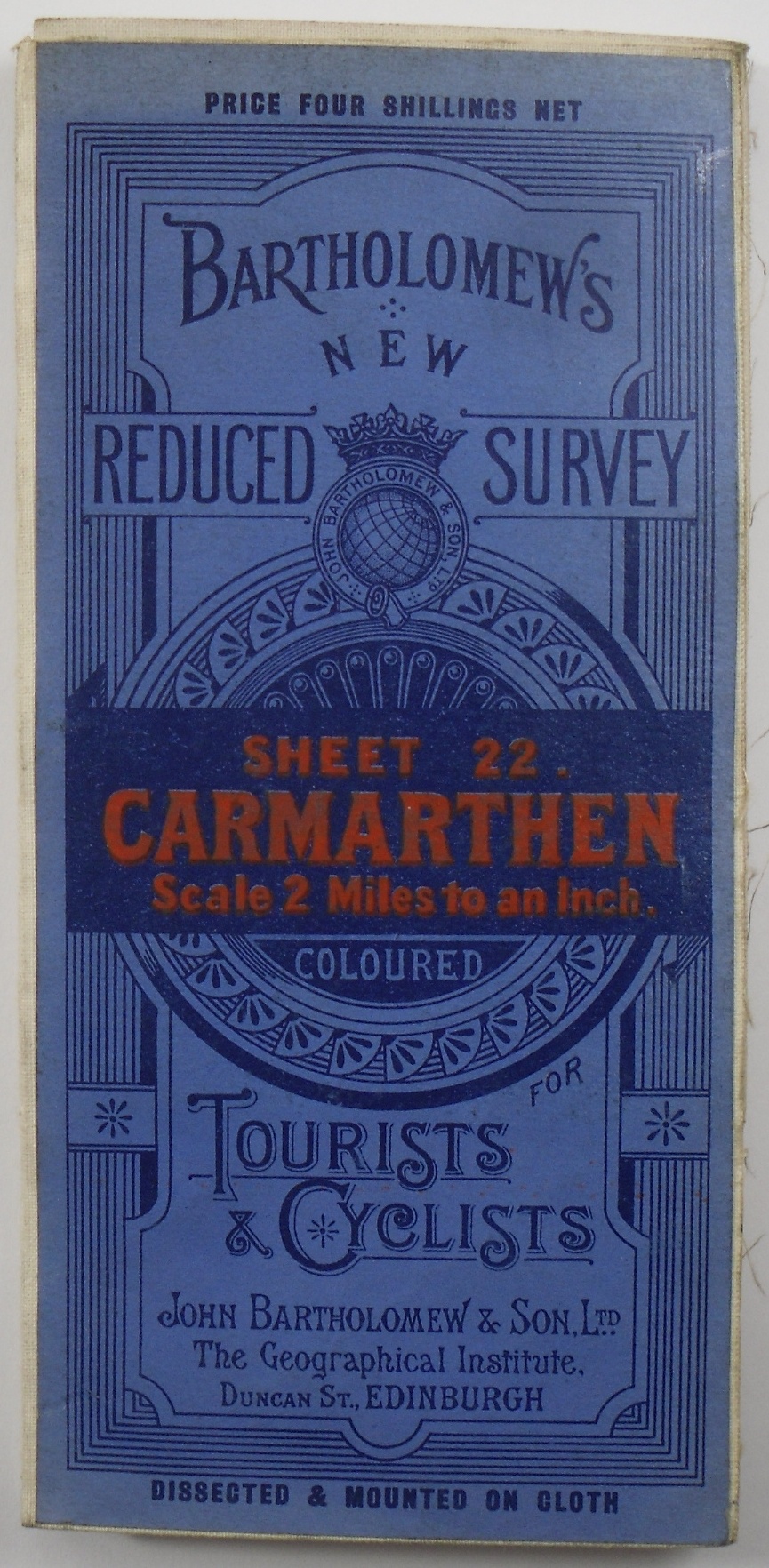


. I did a BaM from Stoke to Manchester a while ago using just a 1947 version of OS 1" number 110. Fascinating, and brilliant fun.


 marl by Jeff Price, on Flickr
 20200409_104356 by Jeff Price, on Flickr
 20200409_104639 by Jeff Price, on Flickr
 20200409_104350 by Jeff Price, on Flickr