Strictly Local
Posted: Thu Feb 18, 2021 12:34 am
Have been meaning to write some words about a ride I did a couple of weeks back before the snow came in, so here they are. After spotting an Instagram post by that nice chap Marcus Stitz where he had followed the boundary of the city of Edinburgh, inspired by the Scottish lockdown directive to stay inside your local authority area, I decided what's good enough for Edinburgh is good enough for Aberdeen. I didn't know if I'd get a chance to do the ride, but any excuse to hit the maps and plot a route makes me happy, so I set to work on following the Aberdeen city boundary as closely as possible, without coming in range of the Aberdeenshire snipers over the border.
The Official Boundary of Aberdeen Fun
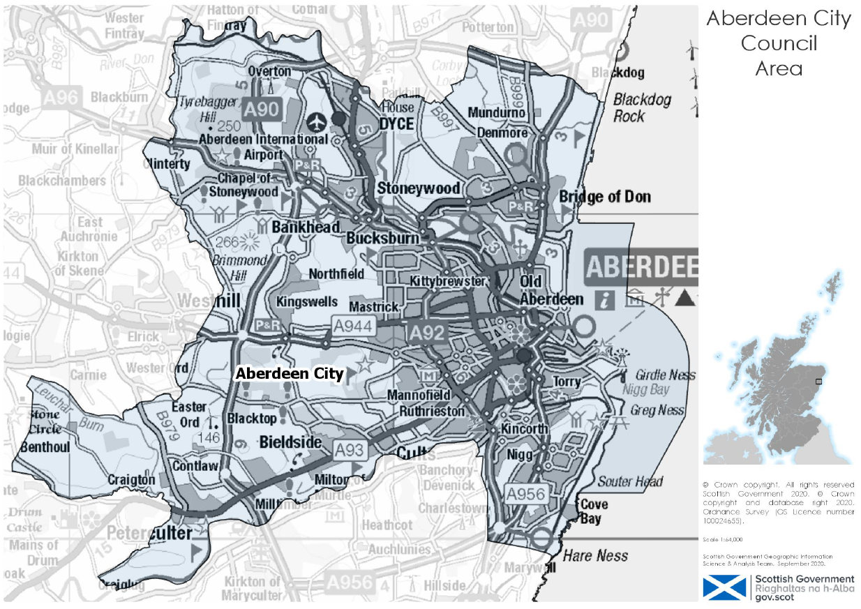
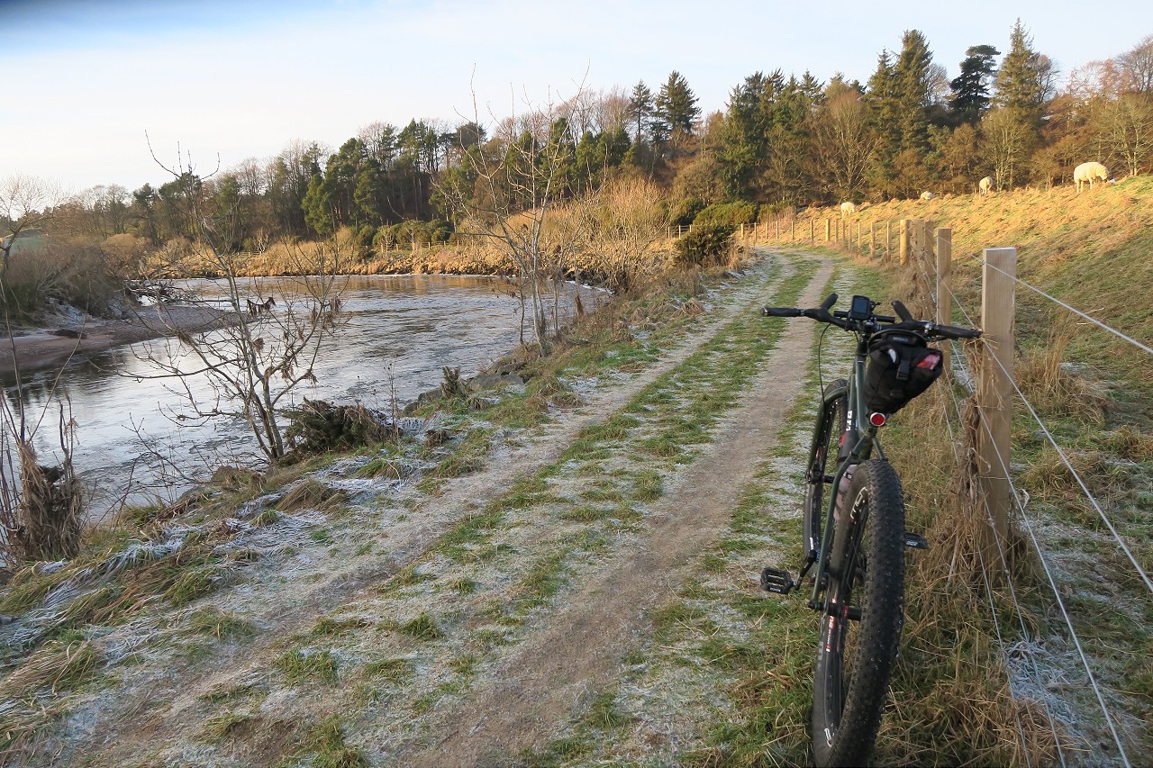
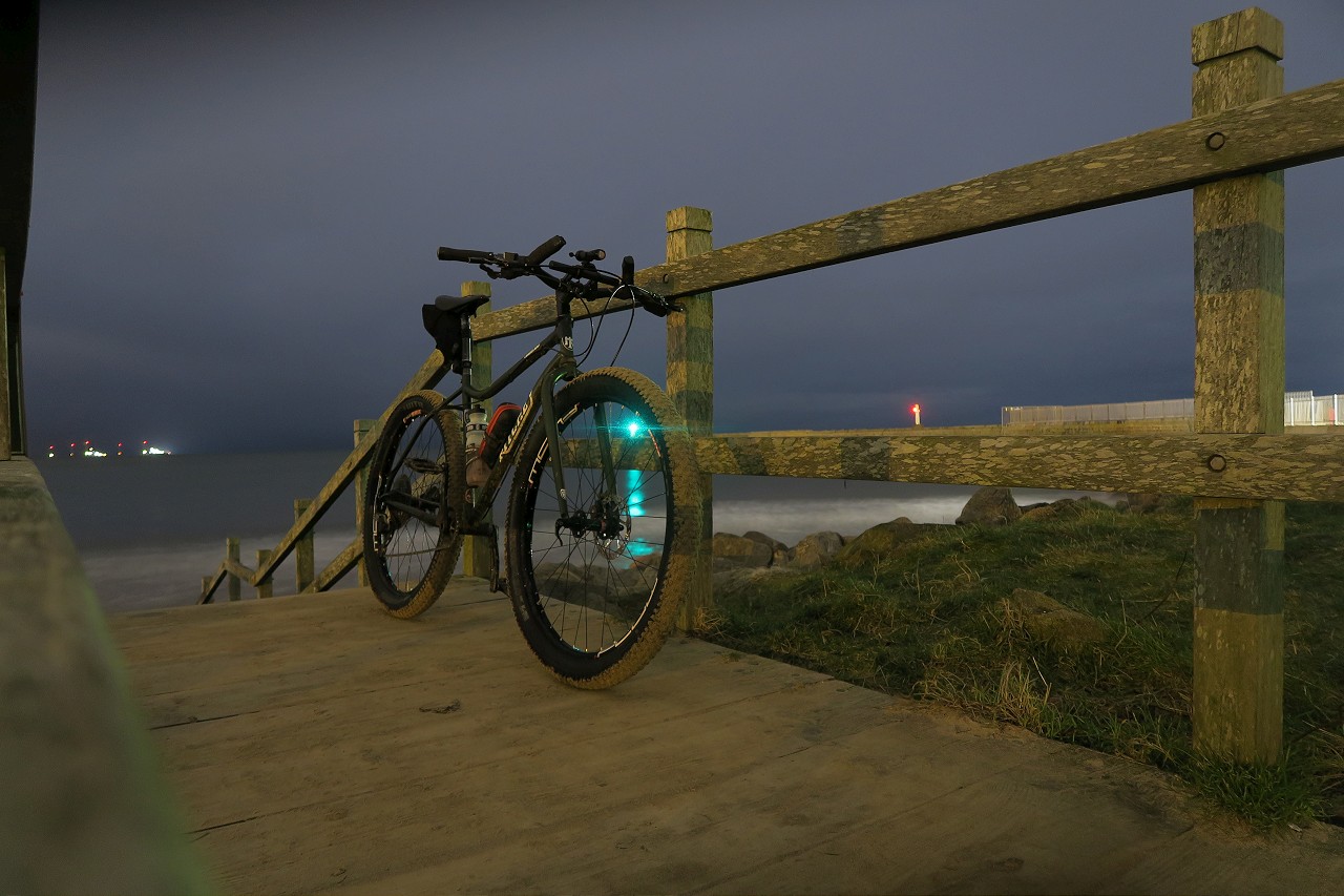
To achieve my aim, I would need to follow the course of both the Dee and the Don for the top and bottom of the boundary, with the Dee Riverside Path especially being an unknown to me. As I was also going to be riding along the beach for a good portion of the eastern boundary, something with big tyres was required, which meant my Commando with its 29+setup. I had managed to negotiate heading out with 2 hours of light remaining in the day, so off I rolled on Sunday afternoon, aiming to get what I imagined to be the roughest part of the ride out of the way, along the banks of the Dee. Dropping down to the riverside path just behind Boots at Garthdee, I was interested to see how much riding I'd be doing, especially with the potential for icy patches in the -2 temperatures.
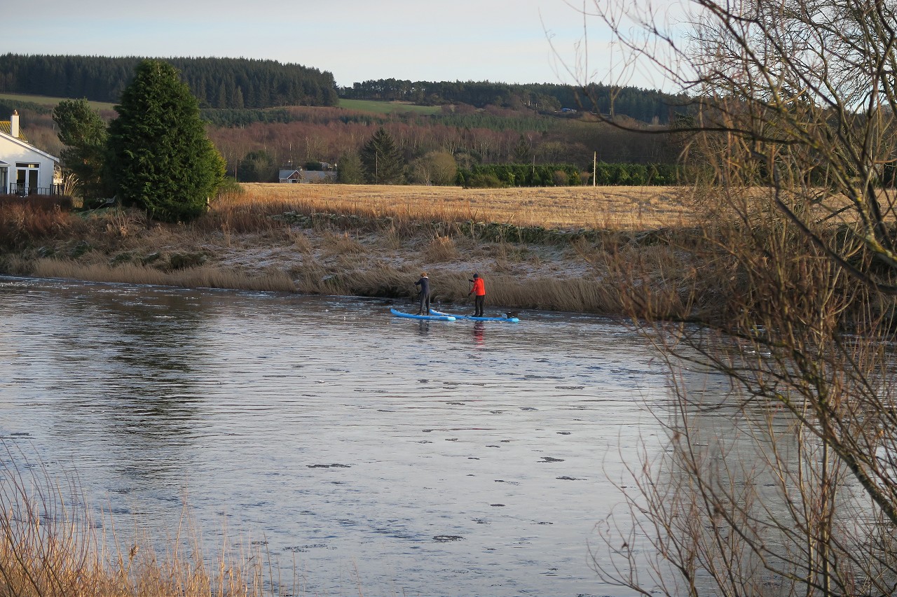
The weather had been cold for so long that practically every muddy stretch had frozen solid and I enjoyed trundling along, patiently letting oncoming walkers pass when necessary on a beautiful crisp afternoon. The river itself was beginning to ice up along the edges, with lots of icy slush floating along, which made an odd scraping sound as it collided with the solid skin of ice outlining the river bank.
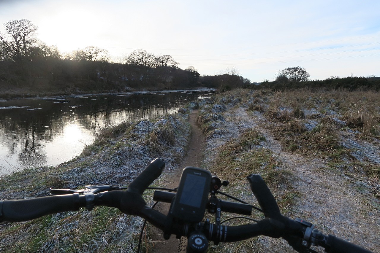
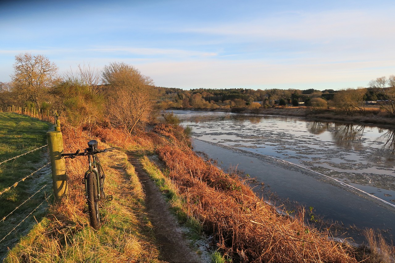
Brave paddleboarders float downriver with the ice
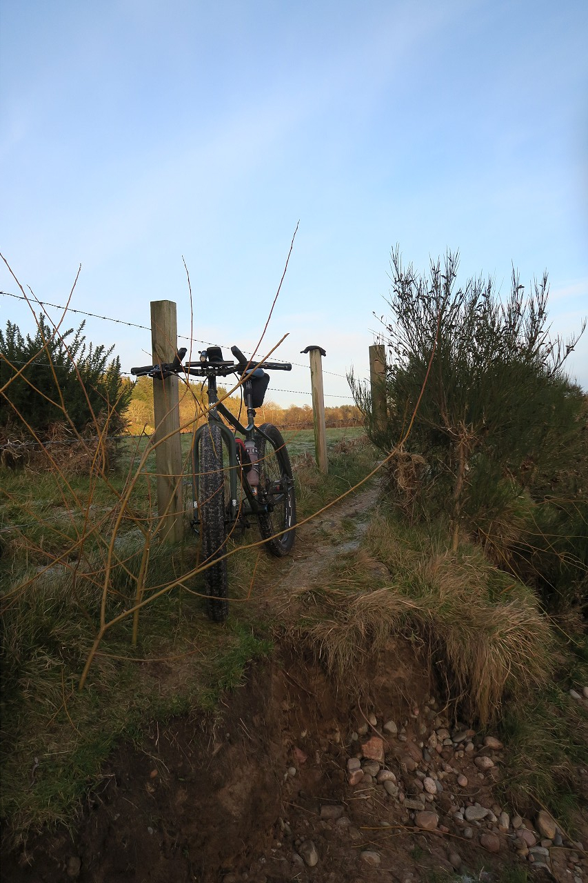
The riding this far had been lovely, with lots of little undulating singletrack stretches through the trees at times, but I knew my luck couldn’t hold much longer. Not long after Deeside Golf Club, I had to turn away from the river briefly to use a bridge crossing a tributary. As I turned back along the wee burn to get back to the Dee I noticed a well-trod path across the empty grassy field. Stubborn as ever, I stuck to my guns and followed the narrow path which followed the barbed wire fence field boundary. This immediately turned into tussocks at the river bank, then narrowed down to non-existent proportions, leaving me with a choice of thick gorse to my left or barbed wire to my right. I ploughed on, occasionally needing to lift the bike to clear a particularly narrow stretch, whilst looking into the field where the occasional dog walker casually strolled along without a care in the world! After a brief stop to allow a couple in similar pain to pass in the opposite direction, whilst promising them only 100m more of the spikiest patches, I got fed up and threw my bike over the fence at a good spot to climb over without damaging anything and rolled along quite happily 10 metres to the right of where I had been.
Some erosion was present
The path improved again shortly afterwards and I made good progress towards Maryculter. There had been a burn crossing I was worried would stop me as I remember turning back there once on a walk, but I was through it and past before I realised where I was, soon passing under the AWPR and crossing the road below to take on the last stretch of the Dee, which would take me to the end of a spur on the City boundary map.
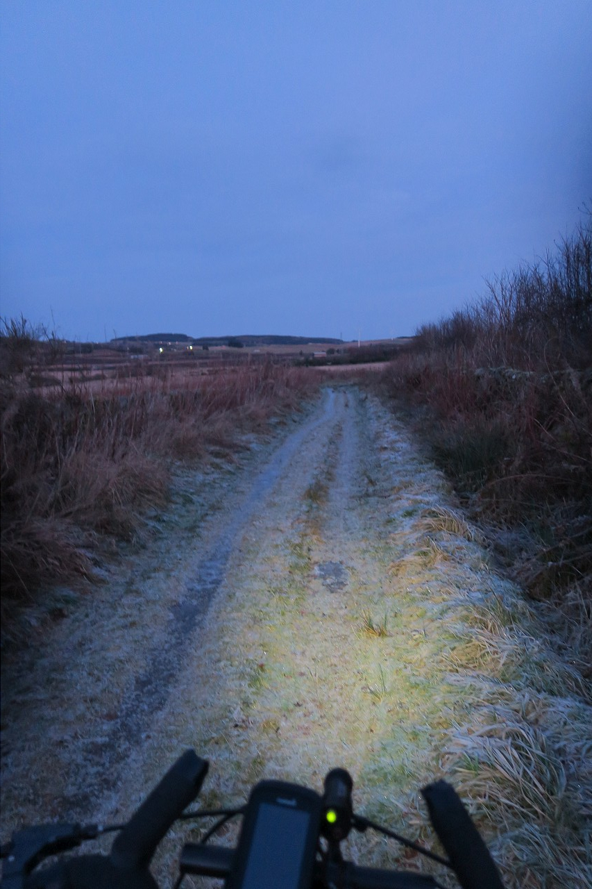
Bumpy but speedy
Cold river
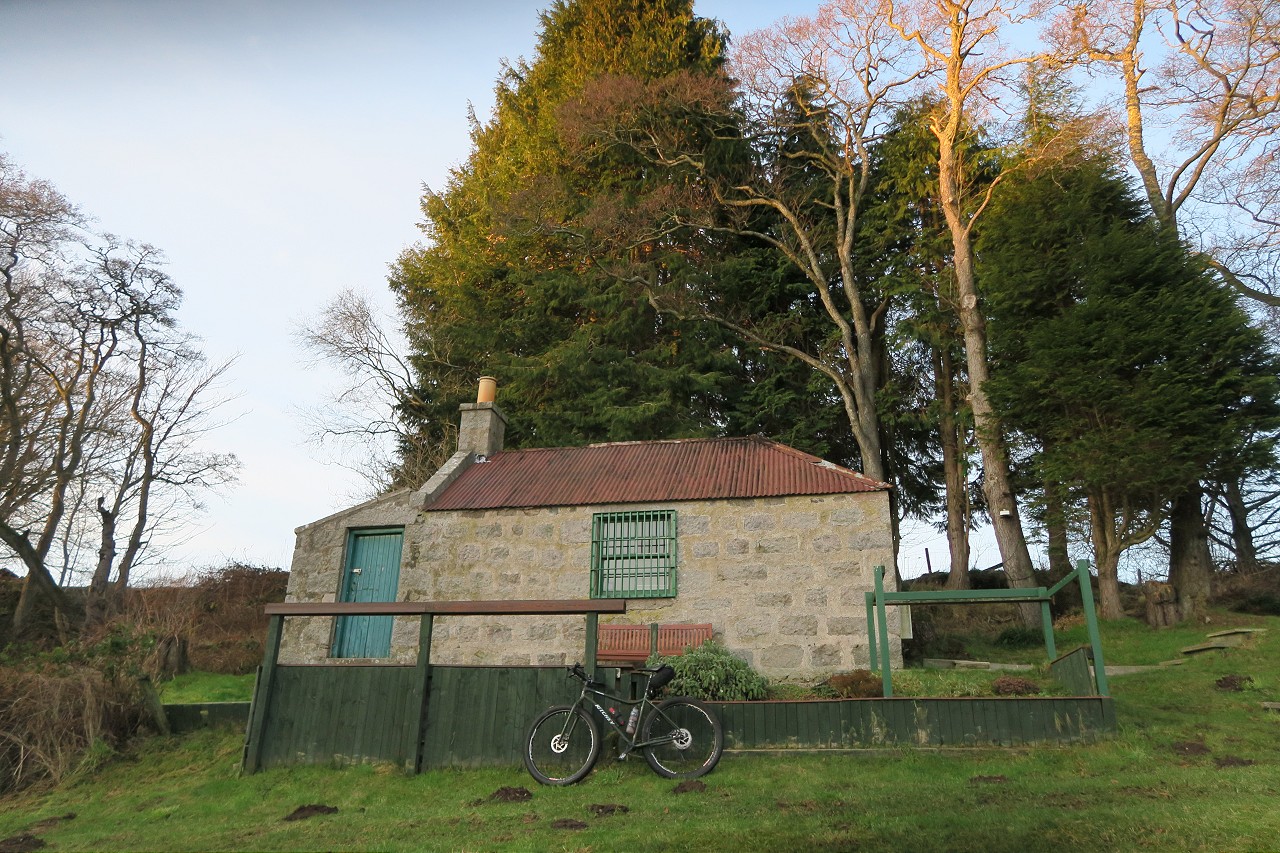
Again, the path was surprisingly good and I soon reached the Culter Burn, where I turned away from the river, joining the Deeside Way very briefly to cross over and double back. I skirted the edge of Peterculter golf course, which was frozen solid and closed. At the far end of the course I popped over a dyke to drop down into a swampy section before regaining the river bank and bumping my way along an improving grassy path. This led to a well-appointed fishing hut before carrying me onwards to Dalmaik Kirk, where I would leave the river to start heading north for the Don.
Fancy hut
Dalmaik Kirk
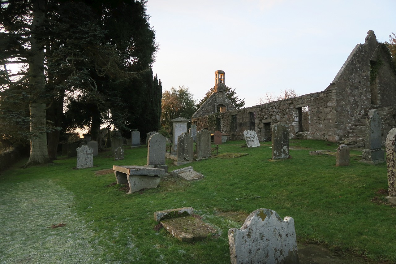
After a bit of faffing, it appeared the only way I could join the track leading away from the river without entering someone’s garden was to hop over the wall into the graveyard, which I duly did. The little-used road had some long stretches of ice, which required careful navigation with no mishaps, before I popped out onto the short road stretch of the Deeside Way. Because of this being an outlier of the city boundary, I had to now turn back the way I had come from and go east into the edge of Peterculter before performing another U-turn and heading west again. This was all on road, so I could get my average speed up whilst the last of the day’s light faded. Another spur followed around the icy declassified road by Leuchar Moss and I got myself offroad again at Benthoul to take a beeline past the helipad and along the field margins to get me near Wester Ord. I’ve taken this way a few times over the years and it’s great when frozen like this.
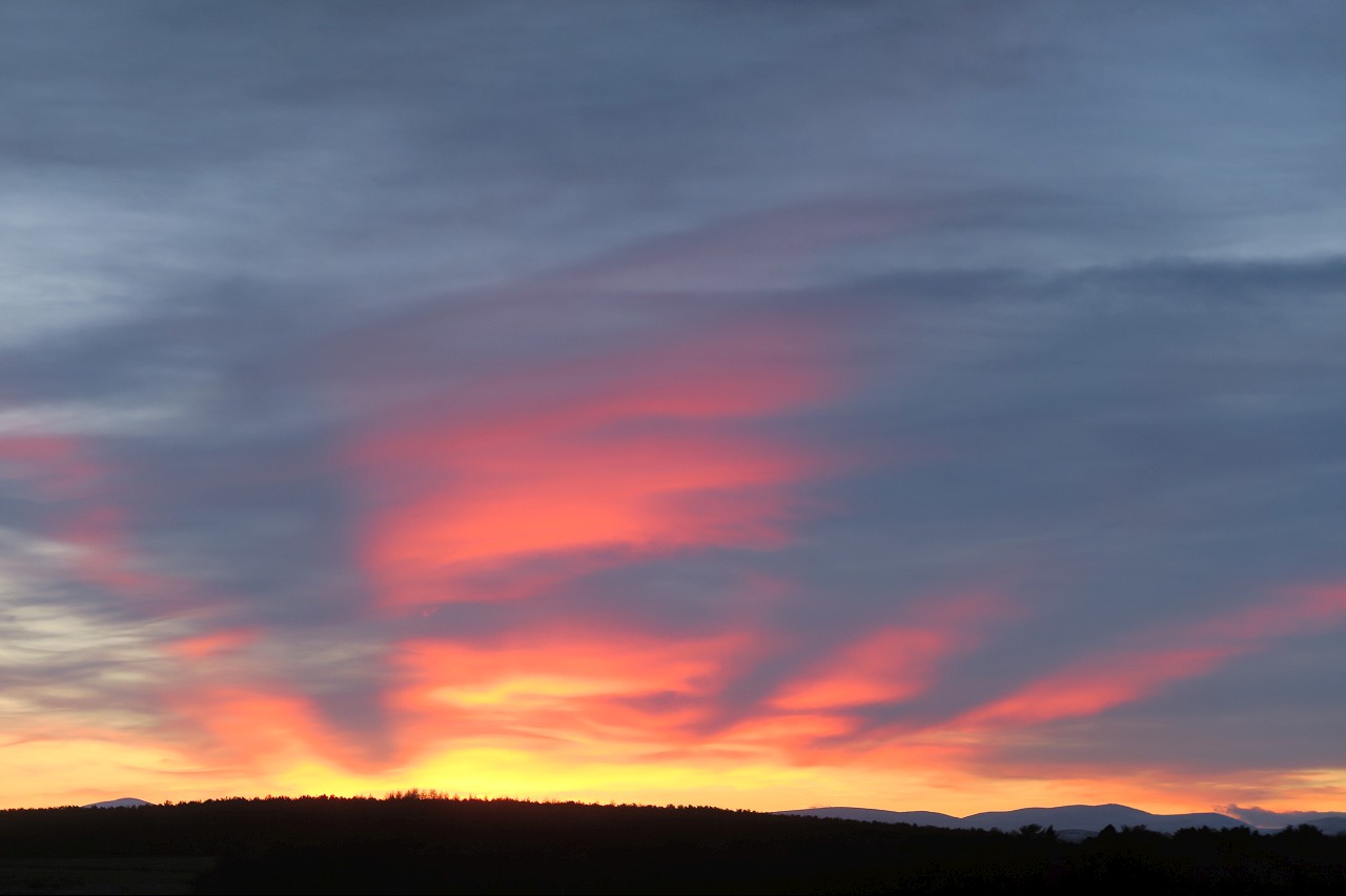
Sunset over Hill of Fare
Bumping from Benthoul
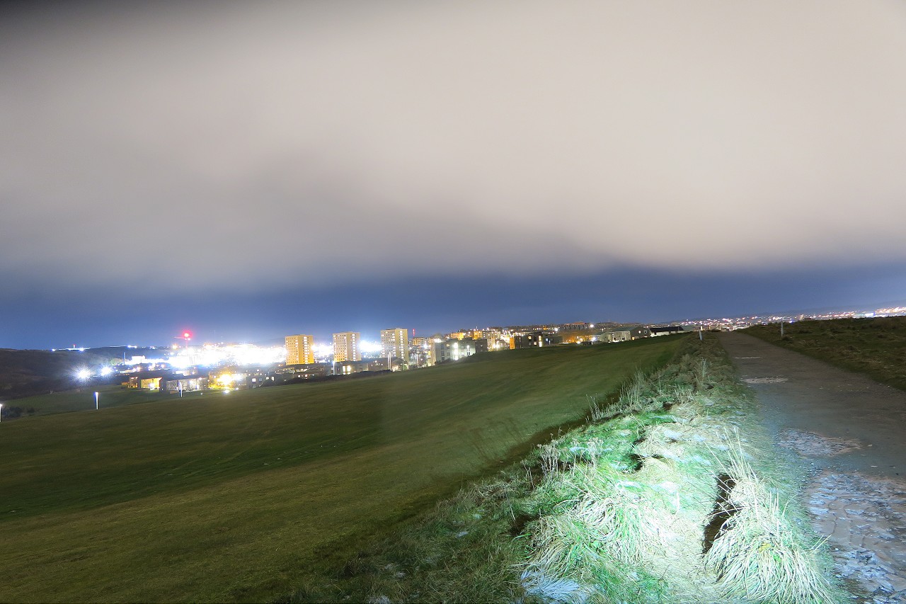
After rejoining the tarmac I headed towards Countesswells, but took the road north to skirt around Westhill and enjoy a quick refreshment stop at the Tesco petrol station. It was so cold and dark, the thought of a 10 minute ride home was pretty tempting at this point, but I resisted the temptation and kept following the border to the north, making good time on the quiet roads towards Blackburn. After crossing the A96, I kept to the east of the Blackburn and navigated some substantial ice patches on the back road, gingerly descending to the crossing and joining the B road that would take me to Hatton of Fintray and beyond. My route now was going to roughly follow the Don to the east, but I took the easy option of staying on the road for a bit longer, as the path I had planned along the river banks was guaranteed to turn into an icy walk in these conditions. This resulted in me reaching Dyce very quickly, where I could get off road again in the Parkhill estate for a pleasant ride through the forest. As I reached the end of this section, my plotted path appeared to deposit me in someone’s back garden. Despite the exit being about 30 metres away, I didn’t feel right ambling past someone’s house and using their gate, so I found an extra path that wound through the trees, eventually letting me out through a gap in the wall.
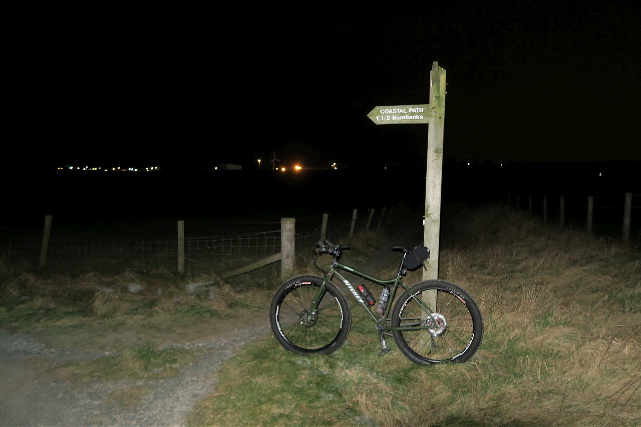
I kept wending my way east towards the coast, with a couple more new off road excursions to do before Potterton that worked out quite well. Soon, I crossed the AWPR for the final time and rolled down into Blackdog for the beach section of the journey. As I hit the sand, I knew I would have to cross the Blackdog Burn somehow to start heading south. I reached the burn at a wide crossing that still showed a bridge across in satellite imagery of the area, but I’d had a feeling this would be long gone, which proved to be the case! The simplest way to get down to the beach would be to turn left and climb a faint path through the dunes to take me down to where the burn emptied into the sea. This had been my original plan, but I had been worrying about high tide since setting off, as I was sure it was pretty much now, meaning there might not be a shallow crossing available. If I could cross the burn higher up somehow, then I would take out that uncertainty. So I turned right against my better judgement and started climbing an even fainter path going inland. I had hoped there might be a sneaky wee bridge here, but no such luck. The burn did narrow significantly, however, so I dropped down to a particularly narrow spot for a closer look. It was an easy jump across to the other side, but not easy or shallow enough to stand the bike up and swing across whilst holding on to it. I resolved to just throw the bike over and hop across afterwards. The bike throw did not go well – the bike, on landing on the far side, did not flop over as expected, but somehow contrived to bounce on its front wheel and spring backwards, landing neatly in the deep burn with the voluminous tyres keeping it afloat. Panic ensued and I immediately leapt across without thinking to rescue my beloved. With little care taken to pick a landing spot, my left foot crunched through the frozen vegetation and plunged shin deep in the burn whilst I fished out the Commando.
Once the extraction was complete, I dragged myself up the bank a little and sat down to take stock. The bike looked fine but my foot was soaking, so I took off my boot and wrung out my sock to try and minimise the damage the rest of the ride was going to do. I also emptied out my mini saddle bag to see what was what. Luckily I had already switched to my properly warm gloves, so the sodden ones inside weren’t an issue and I could probably manage okay without eating the now unappealing caramel shortbread slices from the garage. My extra layers seemed fine after a quick shake out, so I threw on my Mavic windproof and resumed my trudge along the burn and over onto the beach, where I finally started on the southward leg of my journey.
Patriotic pillbox
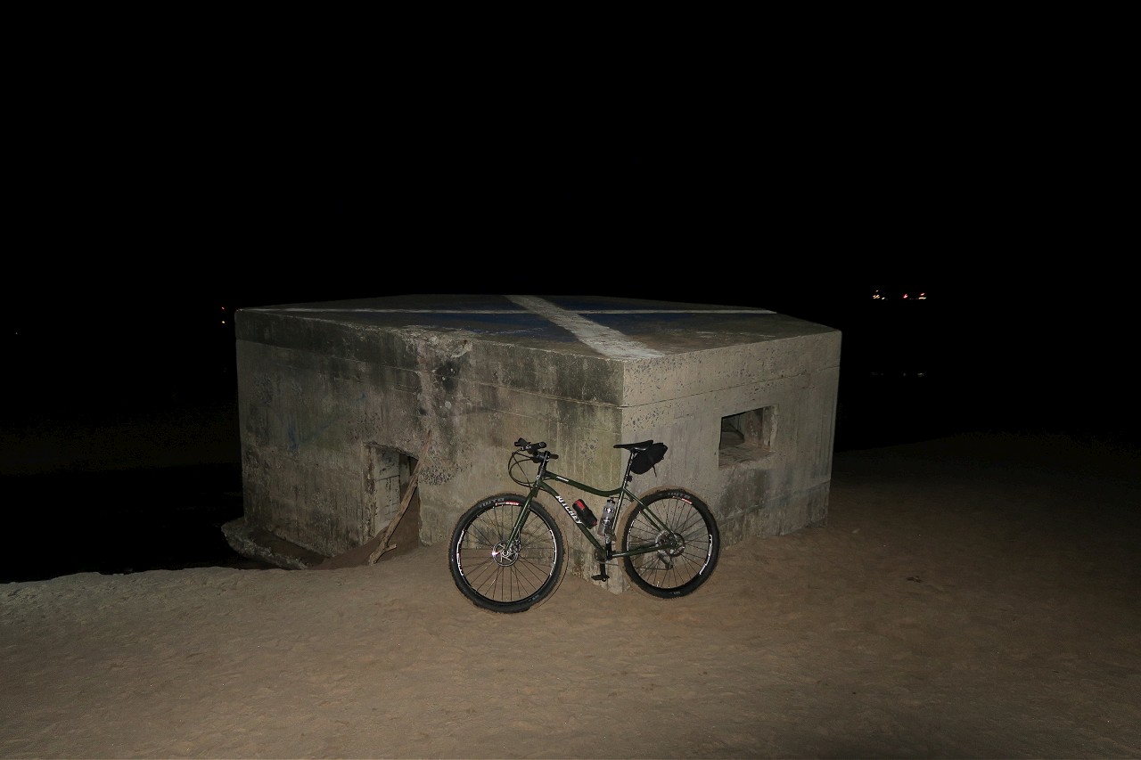
The frigid temperatures had resulted in the sand being frozen solid if you found the right band, so I was absolutely flying along, wondering if I had even needed to bring the plus bike. As I pulled in at the branded pillbox, I thought to check the high tide time as it didn’t look to be as far up as expected. High tide was closer to midnight than 10pm so my Blackdog Burn exploits had been totally needless! Never mind, I was here now and could mostly still feel my wet foot, so on I went.
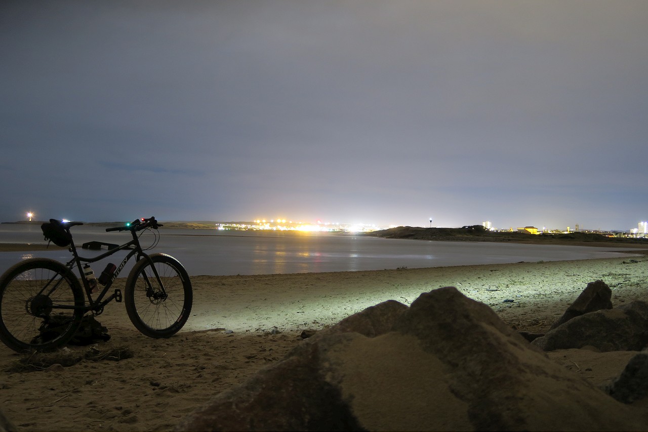
As I got closer to the mouth of the Don, the firm surface disappeared under thousands of footprints from the COVID-enclosed folks of Aberdeen City all visiting the same haunts. At least the later than expected high tide hadn’t forced me to use the paths through the golf courses to reach the Don, meaning I could hug the boundary as tightly as possible. I did a quick dogleg to cross the Don and then started off along the esplanade, which was nice and quick. As I reached Footdee, I managed to drop down onto the beach and nip past the waves that were lapping against the sea defences to enjoy the last stretch of sand on my journey.
I now had to make my way through the docks of Aberdeen and cross the Dee at Victoria Bridge. I would not be able to follow the complete coast of the headland that would take me to Nigg Bay, as it is currently being destroyed for yet more harbour space. I had to content myself with climbing past the Torry battery and on to the lighthouse, then taking a track that bisects the golf course to drop me back on the coast road, where I could climb out of the bay and start riding along the cliff tops towards Cove.
The cliff top paths are a joy to ride as long as you don’t overcook it on the corners which were mostly free of ice, though I was being nice and careful. The last kilometre down to Cove Bay itself was new to me, but I managed to follow what was on the ground to get me down to sea level, where I had the joy of the very steep climb through the village on a mercifully ice-free road.
Cliffs don't photograph well in the dark
I used a rough path along the edge of the Cove community woodland to hug the southernmost point of the city boundary and eventually managed to extract myself through some dense trees, emerging onto the road out of Cove. The rest of the route was simple, taking roads that were closed off to traffic by the AWPR, but link handily together for cyclists. I popped out onto the edge of the A90, rolling downhill before crossing and nipping onto South Deeside road for the last bit of boundary hugging towards my final crossing of the Dee, where the loop was completed. 100km of mostly offroad riding, all whilst remaining inside the city boundary and never being more than an hour’s ride from home!
Pretty much a copy and paste from here:
https://highlanddrifter.com/strictly-local
The Official Boundary of Aberdeen Fun
To achieve my aim, I would need to follow the course of both the Dee and the Don for the top and bottom of the boundary, with the Dee Riverside Path especially being an unknown to me. As I was also going to be riding along the beach for a good portion of the eastern boundary, something with big tyres was required, which meant my Commando with its 29+setup. I had managed to negotiate heading out with 2 hours of light remaining in the day, so off I rolled on Sunday afternoon, aiming to get what I imagined to be the roughest part of the ride out of the way, along the banks of the Dee. Dropping down to the riverside path just behind Boots at Garthdee, I was interested to see how much riding I'd be doing, especially with the potential for icy patches in the -2 temperatures.
The weather had been cold for so long that practically every muddy stretch had frozen solid and I enjoyed trundling along, patiently letting oncoming walkers pass when necessary on a beautiful crisp afternoon. The river itself was beginning to ice up along the edges, with lots of icy slush floating along, which made an odd scraping sound as it collided with the solid skin of ice outlining the river bank.
Brave paddleboarders float downriver with the ice
The riding this far had been lovely, with lots of little undulating singletrack stretches through the trees at times, but I knew my luck couldn’t hold much longer. Not long after Deeside Golf Club, I had to turn away from the river briefly to use a bridge crossing a tributary. As I turned back along the wee burn to get back to the Dee I noticed a well-trod path across the empty grassy field. Stubborn as ever, I stuck to my guns and followed the narrow path which followed the barbed wire fence field boundary. This immediately turned into tussocks at the river bank, then narrowed down to non-existent proportions, leaving me with a choice of thick gorse to my left or barbed wire to my right. I ploughed on, occasionally needing to lift the bike to clear a particularly narrow stretch, whilst looking into the field where the occasional dog walker casually strolled along without a care in the world! After a brief stop to allow a couple in similar pain to pass in the opposite direction, whilst promising them only 100m more of the spikiest patches, I got fed up and threw my bike over the fence at a good spot to climb over without damaging anything and rolled along quite happily 10 metres to the right of where I had been.
Some erosion was present
The path improved again shortly afterwards and I made good progress towards Maryculter. There had been a burn crossing I was worried would stop me as I remember turning back there once on a walk, but I was through it and past before I realised where I was, soon passing under the AWPR and crossing the road below to take on the last stretch of the Dee, which would take me to the end of a spur on the City boundary map.
Bumpy but speedy
Cold river
Again, the path was surprisingly good and I soon reached the Culter Burn, where I turned away from the river, joining the Deeside Way very briefly to cross over and double back. I skirted the edge of Peterculter golf course, which was frozen solid and closed. At the far end of the course I popped over a dyke to drop down into a swampy section before regaining the river bank and bumping my way along an improving grassy path. This led to a well-appointed fishing hut before carrying me onwards to Dalmaik Kirk, where I would leave the river to start heading north for the Don.
Fancy hut
Dalmaik Kirk
After a bit of faffing, it appeared the only way I could join the track leading away from the river without entering someone’s garden was to hop over the wall into the graveyard, which I duly did. The little-used road had some long stretches of ice, which required careful navigation with no mishaps, before I popped out onto the short road stretch of the Deeside Way. Because of this being an outlier of the city boundary, I had to now turn back the way I had come from and go east into the edge of Peterculter before performing another U-turn and heading west again. This was all on road, so I could get my average speed up whilst the last of the day’s light faded. Another spur followed around the icy declassified road by Leuchar Moss and I got myself offroad again at Benthoul to take a beeline past the helipad and along the field margins to get me near Wester Ord. I’ve taken this way a few times over the years and it’s great when frozen like this.
Sunset over Hill of Fare
Bumping from Benthoul
After rejoining the tarmac I headed towards Countesswells, but took the road north to skirt around Westhill and enjoy a quick refreshment stop at the Tesco petrol station. It was so cold and dark, the thought of a 10 minute ride home was pretty tempting at this point, but I resisted the temptation and kept following the border to the north, making good time on the quiet roads towards Blackburn. After crossing the A96, I kept to the east of the Blackburn and navigated some substantial ice patches on the back road, gingerly descending to the crossing and joining the B road that would take me to Hatton of Fintray and beyond. My route now was going to roughly follow the Don to the east, but I took the easy option of staying on the road for a bit longer, as the path I had planned along the river banks was guaranteed to turn into an icy walk in these conditions. This resulted in me reaching Dyce very quickly, where I could get off road again in the Parkhill estate for a pleasant ride through the forest. As I reached the end of this section, my plotted path appeared to deposit me in someone’s back garden. Despite the exit being about 30 metres away, I didn’t feel right ambling past someone’s house and using their gate, so I found an extra path that wound through the trees, eventually letting me out through a gap in the wall.
I kept wending my way east towards the coast, with a couple more new off road excursions to do before Potterton that worked out quite well. Soon, I crossed the AWPR for the final time and rolled down into Blackdog for the beach section of the journey. As I hit the sand, I knew I would have to cross the Blackdog Burn somehow to start heading south. I reached the burn at a wide crossing that still showed a bridge across in satellite imagery of the area, but I’d had a feeling this would be long gone, which proved to be the case! The simplest way to get down to the beach would be to turn left and climb a faint path through the dunes to take me down to where the burn emptied into the sea. This had been my original plan, but I had been worrying about high tide since setting off, as I was sure it was pretty much now, meaning there might not be a shallow crossing available. If I could cross the burn higher up somehow, then I would take out that uncertainty. So I turned right against my better judgement and started climbing an even fainter path going inland. I had hoped there might be a sneaky wee bridge here, but no such luck. The burn did narrow significantly, however, so I dropped down to a particularly narrow spot for a closer look. It was an easy jump across to the other side, but not easy or shallow enough to stand the bike up and swing across whilst holding on to it. I resolved to just throw the bike over and hop across afterwards. The bike throw did not go well – the bike, on landing on the far side, did not flop over as expected, but somehow contrived to bounce on its front wheel and spring backwards, landing neatly in the deep burn with the voluminous tyres keeping it afloat. Panic ensued and I immediately leapt across without thinking to rescue my beloved. With little care taken to pick a landing spot, my left foot crunched through the frozen vegetation and plunged shin deep in the burn whilst I fished out the Commando.
Once the extraction was complete, I dragged myself up the bank a little and sat down to take stock. The bike looked fine but my foot was soaking, so I took off my boot and wrung out my sock to try and minimise the damage the rest of the ride was going to do. I also emptied out my mini saddle bag to see what was what. Luckily I had already switched to my properly warm gloves, so the sodden ones inside weren’t an issue and I could probably manage okay without eating the now unappealing caramel shortbread slices from the garage. My extra layers seemed fine after a quick shake out, so I threw on my Mavic windproof and resumed my trudge along the burn and over onto the beach, where I finally started on the southward leg of my journey.
Patriotic pillbox
The frigid temperatures had resulted in the sand being frozen solid if you found the right band, so I was absolutely flying along, wondering if I had even needed to bring the plus bike. As I pulled in at the branded pillbox, I thought to check the high tide time as it didn’t look to be as far up as expected. High tide was closer to midnight than 10pm so my Blackdog Burn exploits had been totally needless! Never mind, I was here now and could mostly still feel my wet foot, so on I went.
As I got closer to the mouth of the Don, the firm surface disappeared under thousands of footprints from the COVID-enclosed folks of Aberdeen City all visiting the same haunts. At least the later than expected high tide hadn’t forced me to use the paths through the golf courses to reach the Don, meaning I could hug the boundary as tightly as possible. I did a quick dogleg to cross the Don and then started off along the esplanade, which was nice and quick. As I reached Footdee, I managed to drop down onto the beach and nip past the waves that were lapping against the sea defences to enjoy the last stretch of sand on my journey.
I now had to make my way through the docks of Aberdeen and cross the Dee at Victoria Bridge. I would not be able to follow the complete coast of the headland that would take me to Nigg Bay, as it is currently being destroyed for yet more harbour space. I had to content myself with climbing past the Torry battery and on to the lighthouse, then taking a track that bisects the golf course to drop me back on the coast road, where I could climb out of the bay and start riding along the cliff tops towards Cove.
The cliff top paths are a joy to ride as long as you don’t overcook it on the corners which were mostly free of ice, though I was being nice and careful. The last kilometre down to Cove Bay itself was new to me, but I managed to follow what was on the ground to get me down to sea level, where I had the joy of the very steep climb through the village on a mercifully ice-free road.
Cliffs don't photograph well in the dark
I used a rough path along the edge of the Cove community woodland to hug the southernmost point of the city boundary and eventually managed to extract myself through some dense trees, emerging onto the road out of Cove. The rest of the route was simple, taking roads that were closed off to traffic by the AWPR, but link handily together for cyclists. I popped out onto the edge of the A90, rolling downhill before crossing and nipping onto South Deeside road for the last bit of boundary hugging towards my final crossing of the Dee, where the loop was completed. 100km of mostly offroad riding, all whilst remaining inside the city boundary and never being more than an hour’s ride from home!
Pretty much a copy and paste from here:
https://highlanddrifter.com/strictly-local